
Antipodal HF Radiation: Or How Did TouCans Talk to Nighttime Australia and Japan after Sunrise in CO?

 On one of the most interesting radio days of our recent camping trip, Project TouCans made QSOs with Australia, Japan, Columbia, and Argentina, all on the same day! The QSOs to Japan and Australia were made in the middle of their night. The Japan, Australia, and Columbia QSOs were all made in a sixteen minute window beginning with VK3YV at 12:40 UTC.


What was the Propagation Mode?

While the QSOs were awesome! How did they happen? I did a bit of research. 

Spoiler: I don't have an answer yet.

If you have ideas, I'd love help on this, please comment!

Dayside stations talking to nightside stations led me to sv1uy's page on chordal hop propagation which had a nice diagram


The rest of the notes from below followed from this diagram. I don't have answers yet, but here are my notes. I've been talking with the kids about radio occultation, refraction, and of course, the Gladych research project during all of this. I'm also using it to introduce trig which will layer in with the work the 11 and 9 year-olds, (Mota and Tawnse), are doing with fractions.

This mode, (numbered page 4 of Gold's thesis), is interesting because we had plenty of scattering. Notice the mountain peaks and ridges all round us below.


Chordal Modes Introduced with Villard

And we have our first reference to Villard, which included Okinawa, and therefore two different Gladychs, Michael's Project Smoke Puff article, and Stanislaw who was the architect for the Okinwa base in 1955.


And there's a bit of a Gladych aside here that's just too difficult to ignore. Apparently Stanislaw also few planes in World War II? I knew Michael did, but this is the first mention [pdf] I've seen of Stanislaw being a pilot


Carter Manny Jr. worked with Stanislaw. Here's his Chicago Tribune obituary.

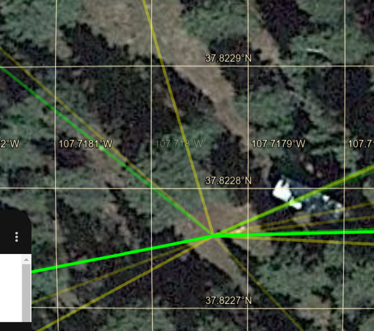
Finding Our Antipodal Point

To find the anitpoidal point, we can follow our longitude over the North (or South for that matter) where it will become the same longitude minus 180 degrees, or pi radians if that's the unit you prefer. You can see this in the diagram below where our longitude of about -107 degrees traced over the pole becomes about 73 degrees.


Meanwhile, our latitude above the equator will be used to find the same number of degrees below the equator:

37.82275 becomes -37.82275.

More precisely, we get 

37.822754°N 107.717935°W -> 37.822754°N 72.282065°E


And our anitpodal is shown below near the 70 degrees East label.


Pretty excellent discussion of anitpodal points.

Conclusions for the moment

I don't know what propagation mode we had yet. We're going to pull some ionosonde data next to see if there was in fact a 'tilt' in the ionosphere at the time of the QSOs.


Comments

Popular posts from this blog

More Cowbell! Record Production using Google Forms and Charts

First, the what : This article shows how to embed a new Google Form into any web page. To demonstrate ths, a chart and form that allow blog readers to control the recording levels of each instrument in Blue Oyster Cult's "(Don't Fear) The Reaper" is used. HTML code from the Google version of the form included on this page is shown and the parts that need to be modified are highlighted. Next, the why : Google recently released an e-mail form feature that allows users of Google Documents to create an e-mail a form that automatically places each user's input into an associated spreadsheet. As it turns out, with a little bit of work, the forms that are created by Google Docs can be embedded into any web page. Now, The Goods: Click on the instrument you want turned up, click the submit button and then refresh the page. Through the magic of Google Forms as soon as you click on submit and refresh this web page, the data chart will update immediately. Turn up the:

Cool Math Tricks: Deriving the Divergence, (Del or Nabla) into New (Cylindrical) Coordinate Systems

Now available as a Kindle ebook for 99 cents ! Get a spiffy ebook, and fund more physics The following is a pretty lengthy procedure, but converting the divergence, (nabla, del) operator between coordinate systems comes up pretty often. While there are tables for converting between common coordinate systems , there seem to be fewer explanations of the procedure for deriving the conversion, so here goes! What do we actually want? To convert the Cartesian nabla to the nabla for another coordinate system, say… cylindrical coordinates. What we’ll need: 1. The Cartesian Nabla: 2. A set of equations relating the Cartesian coordinates to cylindrical coordinates: 3. A set of equations relating the Cartesian basis vectors to the basis vectors of the new coordinate system: How to do it: Use the chain rule for differentiation to convert the derivatives with respect to the Cartesian variables to derivatives with respect to the cylindrical variables. The chain

The Valentine's Day Magnetic Monopole

There's an assymetry to the form of the two Maxwell's equations shown in picture 1.  While the divergence of the electric field is proportional to the electric charge density at a given point, the divergence of the magnetic field is equal to zero.  This is typically explained in the following way.  While we know that electrons, the fundamental electric charge carriers exist, evidence seems to indicate that magnetic monopoles, the particles that would carry magnetic 'charge', either don't exist, or, the energies required to create them are so high that they are exceedingly rare.  That doesn't stop us from looking for them though! Keeping with the theme of Fairbank[1] and his academic progeny over the semester break, today's post is about the discovery of a magnetic monopole candidate event by one of the Fairbank's graduate students, Blas Cabrera[2].  Cabrera was utilizing a loop type of magnetic monopole detector.  Its operation is in concept very sim